-
Gemminis Accesss
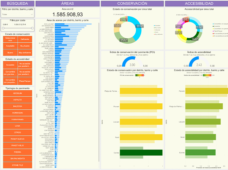
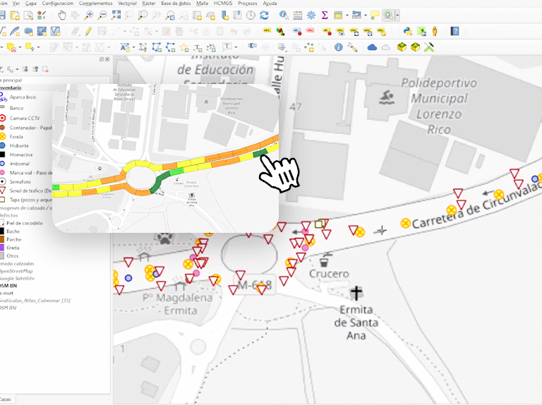
Urban accessibility mapping and evaluation
We digitize and analyze accessibility to improve urban mobility.
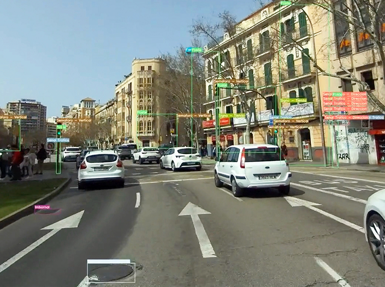
Analyzes the status and accessibility of sidewalks ramps
ramps  obstacles
  steps and conditions affecting mobility.
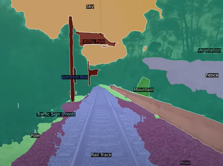
What elements does it detect?
Ramps and stoops
Location and slope of ramps and curb cuts.
Obstacles
Trees, lampposts, furniture or signs in the middle of the crosswalk.
Useful width
Analysis of sections with insufficient width for assisted mobility.
Critical intersections
We detect crossing areas with no accessibility or without adequate stoppages.
All that we analyze
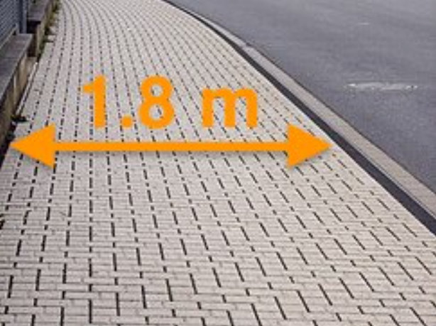
Sidewalk width
Automatic measurement of the useful crosswalk width, ideal for assessing regulatory compliance.

Object height
We identify street furniture, lampposts or signs that invade pedestrian space.
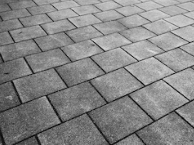
Pavement
Materiality and pavement condition analysis, key to accessibility and maintenance.
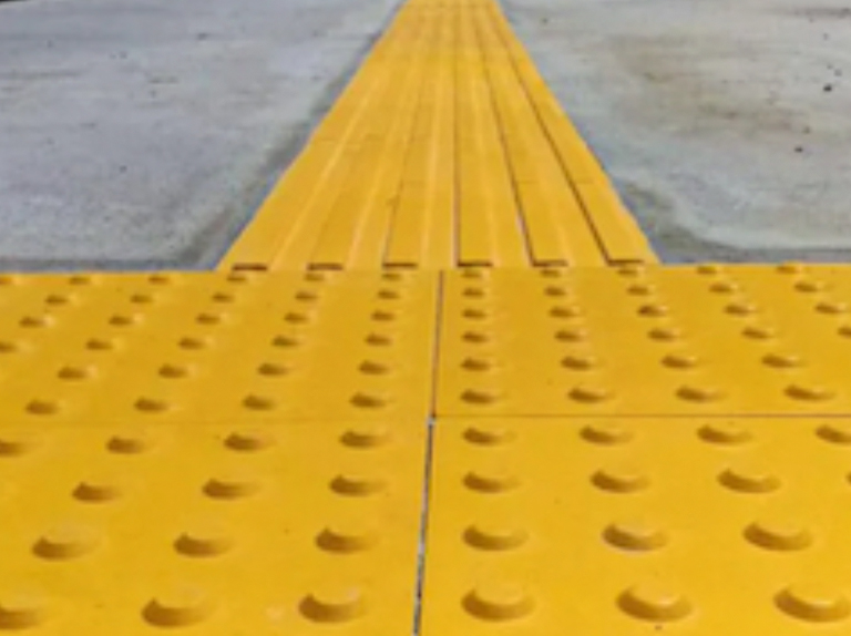
Podotactile tile
Detection and location of guidance or warning strips for the visually impaired.
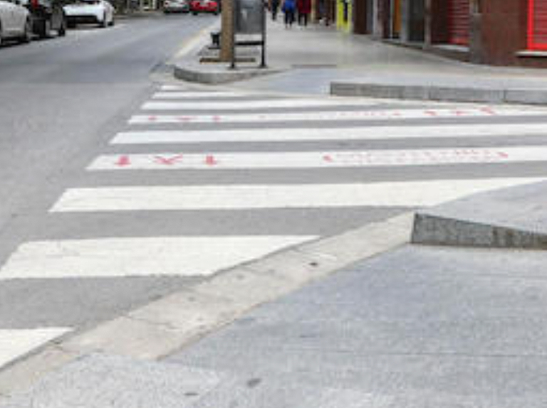
Zebra crossing recesses
Location, slope and connection with roadway to ensure accessible crossings.
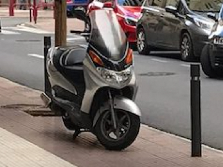
Vehicles on sidewalk
Identification of vehicles invading the sidewalk and compromising pedestrian mobility.
Improved accessibility
Request the Access module and receive a complete pedestrian accessibility diagnosis.
more modules
Explore our modules
Discover more ways to digitize your environment

